Tornado Watch Hits Baltimore And Surrounding Counties
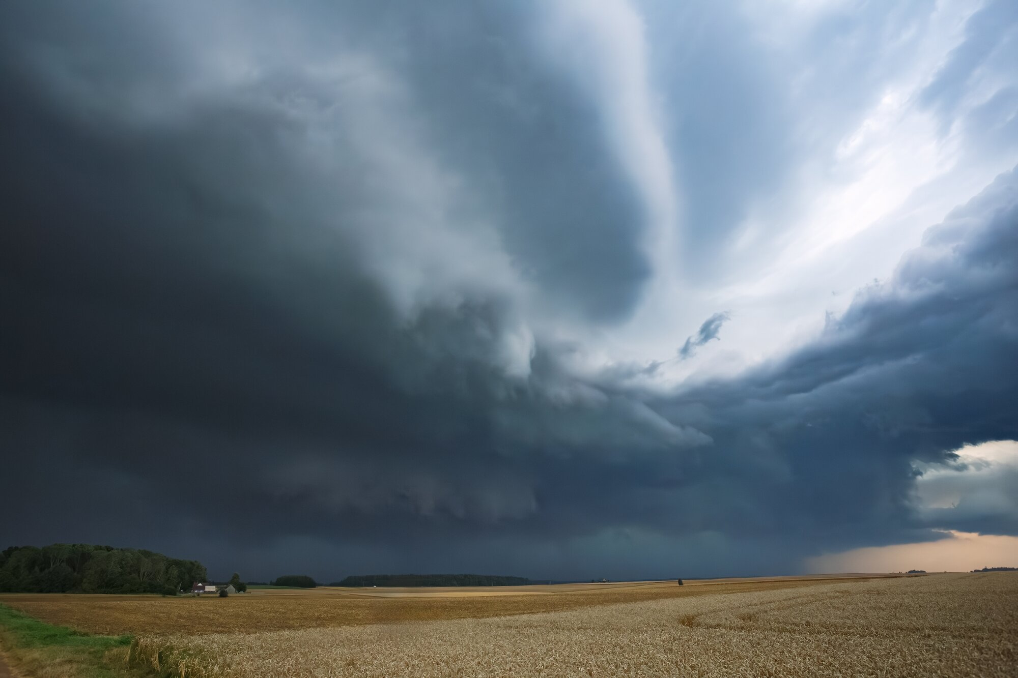
The National Weather Service issued a tornado watch Thursday afternoon covering Baltimore City and 20 Maryland counties, including Anne Arundel, Carroll, Frederick, Harford, Howard, Montgomery, Prince George's and the entire Eastern Shore, until 10 PM.
The watch covered more than 25.7 million people across the Mid-Atlantic region and came with warnings of wind gusts up to 70 mph, hail up to ping-pong ball size and the possibility of tornadoes.
By evening, a tornado was confirmed. NWS Doppler Radar detected debris near Ewingville in Queen Anne's County during the 5 PM hour, confirming an actual tornado on the ground.
Separate tornado warnings were issued for northwestern Kent and northeastern Queen Anne's counties until 6:15 PM, and for central St. Mary's County until 7:45 PM.
The main threat throughout the afternoon and evening was damaging wind gusts and heavy rain.
Downed trees, power outages and localized flooding were reported across the region. Caroline County reported downed wires in Marydel.
The storms cleared the Baltimore metro by about 6:30 PM and were expected to exit the region entirely by 8 PM. Friday is forecast to be clear and dry before another possible storm threat arrives Saturday.